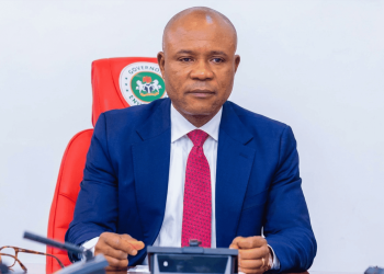
An Executive Bill to establish the Akwa Ibom Geographical Information System (AKWAGiS) as an independent government agency, under the supervision of the Ministry of Lands, will be sent to the Akwa Ibom State House of Assembly in 2025, Governor Pastor Umo Eno has announced.
Speaking on Day 3 of the Akwa Ibom State Executive Council Ministerial Briefing and End-of-Year Review in Uyo, the governor revealed that AKWAGiS, once launched in 2025, will enable the seamless digital issuance and revalidation of Certificates of Occupancy (C-of-O). This initiative aims to revolutionize land administration, making it more efficient, transparent, and cost-effective.
According to Eno, AKWAGiS will serve as an innovative portal to simplify, digitise, and streamline the processes of acquiring, documenting, and verifying land titles in the state.
“We will send a bill to the House of Assembly to make AKWAGiS a stand-alone agency under the Ministry of Lands. With the portal live, we will transition from the centuries-old manual paperwork to digital systems, making it possible to obtain Certificates of Occupancy online. In 2025, all C-of-Os will be revalidated,” he stated.
During his presentation, the Senior Special Assistant to the Governor on ICT, Dr. Frank Ekpenyong, described AKWAGiS as a geographic information management system that organises and digitises land administration in Akwa Ibom State.
Dr. Ekpenyong disclosed that aerial mapping of the entire state has already been completed, enhancing not only land administration but also economic planning and security.
He noted the numerous benefits of AKWAGiS for both local landowners and the government: fraud prevention, reduced land theft, fraud, and encroachment; and the provision of detailed information on land location, size, ownership, and potential costs, enabling buyers to transact directly with landowners without multiple intermediaries.
In terms of efficiency, the system will streamline documentation processes and eliminate unnecessary fees.
According to Ekpenyong, AKWAGiS is designed to bridge the digital gap in land management by providing accurate and reliable information on land titles. This, he said, ensures that people buy land from rightful owners and reduces complications during land transactions.


